Friday morning we traveled through South Carolina. Our destination for the afternoon and evening was Pembroke North Carolina, just across the border. We were in the Pembroke area because we needed caches in North Carolina as our 48th geocaching state and because we have family in the area.
Other than driving from the southern border to the northern border of South Carolina, we did have a few special geocaches on the list.
South Carolina
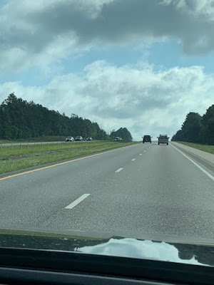
And since I have been posting interstate travel photos, this was the road when we left Augusta this morning, about 10-20 miles beyond the city. No accidents. Very little truck traffic. (That is NOT snow in the front window. I don't know what that white stuff is. Condensation?)
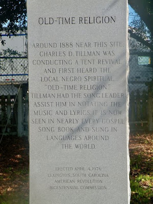
location of a virtual cache
but the bonus information
A Lutheran Seminary was located in Lexington, South Carolina from 1834 to 1855. Lutheran Classical and Theological Seminary probably would not be acceptable to the ELCA today.
and more bonus information
The hymn Old Time Religion was first heard in Lexington around 1888 at a tent revival meeting.
The John Fox House
This family home was built around 1832 and was home to Fox family descendants for about a century. John Fox was a prosperous farmer and this was his home in town. He was also very involved in local and state government. There is a smoke house, pigeonniere and privy in the backyard along with slave houses. I have no information on the number of rooms in the two-story home. This was the virtual geocache and the reason for the stop in Lexington.
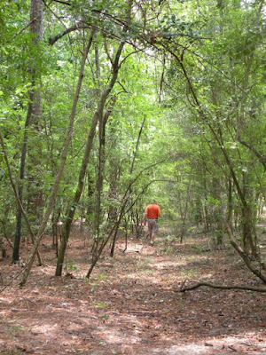
Then it was another walk in the woods...
to find another large geocache, a five gallon pail...
resting on the tree truck. It wasn't raining. The walk was less than 500'. Although there was no clear trail, there was only one way to go...
without crossing the river...
the site of a revolutionary War skirmish. WOW! Who knew? Revolutionary War battles/skirmishes as far south as northern South Carolina.
North Carolina
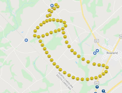
We got to our destination early in the afternoon and started finding the geocaches for this geo-art.
We were traveling what I call back roads - the narrow, paved roads connecting the small communities scattered throughout a county. This was farming country and open spaces.
gourd houses for birds
We weren't close enough to identify the species, but I did note about 4 posts with hanging gourds and busy little birds flying about.
cows!
are we in North Carolina...
or South Carolina?
All of our afternoon geocaches were located in North Carolina, all 64 of them. Finding the geocaches went quicker than we expected. The caches were along the narrow, not too busy, paved roads often on signs or across the narrow steep ditch next to an electrical pole. No stickery vines. No ticks or mosquitos. No injuries. No blood left in NC.
The farmers in North Carolina also plant their crops to the very edge of the roads (this road had a street sign on the corner) and in the ditches when they can. We have noticed this farming method in South Dakota and in Iowa on last summer's road trip.
harvested wheat
tall tasseled corn
The corn in our part of the state was maybe 6 inches high when we left last week.
and finally some flower photos
I saw a few flowers on the Modoc Trail yesterday, but with the rain, I did not take the time to take any photos. I was very excited to see the wild lilies growing in some of the ditches as we drove in the countryside today.
Four blog posts without any flowers???
We are in this area for two nights and in North Carolina through Monday morning. Then we head west back towards Nashville.


No comments:
Post a Comment
Thanks for your comments!