We are in New Mexico for the week as we head to AZ. The reason is geocaching, of course.
This is our geocaching map of NM. The white counties mean we have not found a geocache. We plan to turn all of them to a color after this week. We did add the far northeast (corner) county today. We have 10 left.
And as is typical when we geocache, we stumble across something quite interesting or unusual. Today it was Capulin Volcano. I noticed the brown monument signs along the highway and asked Hubby to do some research while I was driving. If it was along our route, maybe we could stop??? Maybe it had a geocache???
It was just 3 miles off the highway. In fact, there were 5 geocaches at the location!
The other 3 caches were at the rim of the volcano; a two mile drive to the rim and then the options of two moderate trails for walking along the rim and one into the volcano vent. Bummer! The park closed at 4:30.
The cone rises 1,300 feet above the plains/8,182 feet above sea level. The volcano straddles two habitats: the grassland of the plains and the forest of the mountains. Both very visible from the Visitor's Center.
this trail was near the Visitor's Center
a view of the valley below the volcano
Capulin Volcano erupted 60,000 years ago, producing two kinds of volcanic product: cinders and lava flows. Lava flows were very visible along the highway from other volcano eruptions. Capulin produced 4 lava flows covering 15.7 square miles. (Which could be viewed from the rim.)
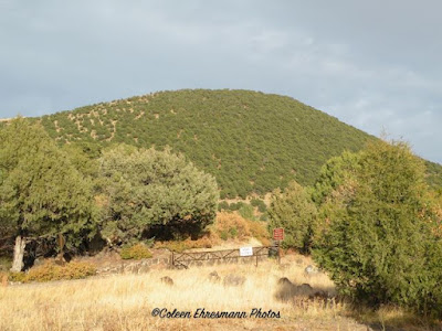
just one of many volcano cones along our route
I am not certain where this volcano was as this sign was several miles east of Capulin. From a distance it is hard to tell which cone mountain was the highest. (Remember, you can click on any photo for a larger view.)
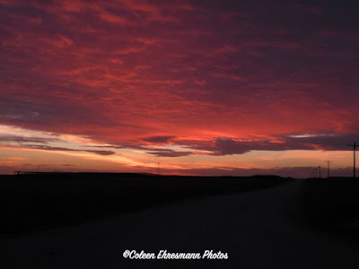
a beautiful sky and sunset on this first day of November


No comments:
Post a Comment
Thanks for your comments!