"Situated at the confluence of the Niobrara and Missouri rivers on Nebraska’s northeastern border, Niobrara State Park offers visitors a wide array of outdoor experiences. This scenic, tranquil park offers cabins, both primitive and RV camping, picnicking, swimming, boat ramps, horseback trails, hiking, fishing and wildlife watching opportunities. During the summer months, the park hosts its famous buffalo cookouts."


We have been to the state park before, but that time we stayed at the lodge in town. That occasion was also a gathering of geocachers.


The park is so large, other than during the Saturday geocaching event, we rarely saw anyone on the hiking trails when we were geocaching. During the weekend the cabins and tenting areas were occupied. The RV campground was also busy. There were several larger gatherings with very little social distancing.
The area has a rich history beginning with the first inhabitants, the Ponca.


***remember, you can click on any photo to make it larger***

Lewis and Clark also visited the area.

It was settled by fur traders and was a camp for the Mormons on their westward journey.


a view of the Mighty Mo looking south from one of the
park's hilltops

on our last/first visit, we traveled on that bridge* from
Springfield SD

the park has paved roads for vehicles
"Nature's bounty is readily visible during a drive along the park's seven miles of roads or a stroll along the 14 miles of hiking trails."

and mowed paths for pedestrians
and animals (dogs & horses)
Because of Covid-19, many of the park's usual weekend activities have been canceled, but that has not prevented people from enjoying the area.
We arrived Thursday afternoon giving us a day to explore and geocache before the Saturday event. In 'normal' times, there would have been a Friday night geocaching event and another on Sunday morning and a buffalo cookout for Saturday evening. The geocachers still gathered Friday night for s'mores and Sunday morning for pancakes, but were fewer in number and more conscious of social distancing.

The hills were so green and lush. The park is well kept with wide, mowed areas (probably for easier snake visibility). I took my camera along as we walked some of the trails and drove along the roads.

these thistle seeds were clinging to each other in a horizontal
line, not attached to another plant
just waiting for a strong wind or a passing animal
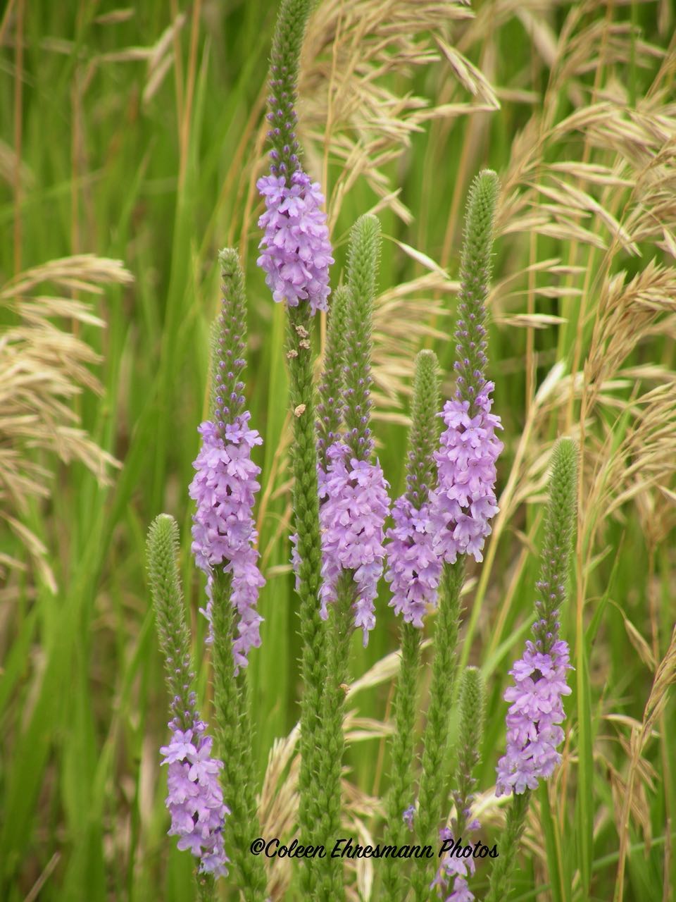
I did not think to use my phone app to identify plants I saw. I was just enjoying Mother Nature and trying to get 'a good shot.'


one of the cute and creative geocache finds named
On the Road Again


There was a robin's nest in the tree next to our campsite. I enjoyed watching momma and daddy watching us, searching for food for the babies, and feeding the 3 hungry little ones. The five of them provided lots of entertainment during our down time. And the fireflies of which I could NOT get a photo other than that tiny flash on my phone camera, posted on FB. And it wasn't for trying!


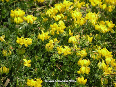
ground flowers

another creative geocache hide
this one is a 3-D mushroom
the mushroom cap turns off, revealing a hollow stem
for the cache log (paper to sign)

just an interesting tree on our walk
well, wade through waist high grass in this section
we later found a short cut...a paved road and
sidewalk to the geocaches!

lots of birdhouses in the park
and different types

a flock of wild turkeys were spotted near one of the geocaches

some of the folks at the Saturday morning event

Hubby visiting with the Sioux Falls gals who came for the day

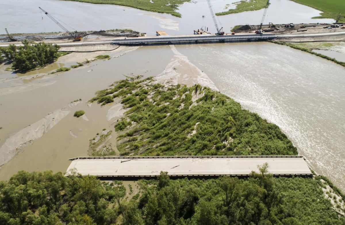
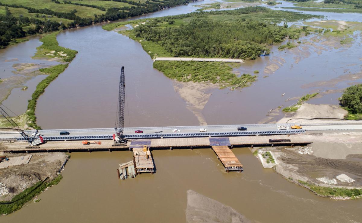
this bridge has a story...
This bridge was there in 2017 when we drove from the village of Niobrara to the state park, but was NOT there in 2019 when geocachers gathered in July for this annual geocaching event at the State Park. The Niobrara River flooded in March 2019 along with the Elkhorn River farther south and a number of other northern Nebraska rivers. Flooding happened to the degree of washing out bridges, roads, and isolating communities. This was one of the bridges destroyed by the ice flows and rising waters last spring.
"Spring flooding caused significant damage to the approach and girders of the bridge and completely washed out the bridge over the Mormon Canal."
bridge moved to the island sandbar
2019 photos from: Omaha-World Herald
We drove to Norfolk last spring for a geocaching event and I posted photos of the debris we saw in that county. Click here.
The side walls of the bridge were being poured and it is close to being completed and open. The geocachers told us the former bridge was lying on the sandbars on the north side of the river last July. Quite a sight to behold as the detour added 40 to 60 miles to get to the community of Niobrara from the west.
* this bridge was NOT affected by the 2019 flood
No comments:
Post a Comment
Thanks for your comments!