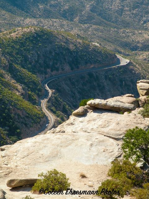
I took too many photos the day we drove to Mt. Lemmon to select only a few for a blog post, so instead I have the trip UP the mountain and the next post heading DOWN the mountain.
A trip to the top of Mt. Lemmon, the highest or one of the highest peaks in this part of AZ, has been on my AZ bucket list for almost 10 years. The distance from our home is only 139 miles, but Hubby has not had the desire I have had until we spent those November days in Tucson and I shared there were around 75 geocaches along the road. That got his attention! And I got a road trip to Mt. Lemmon.
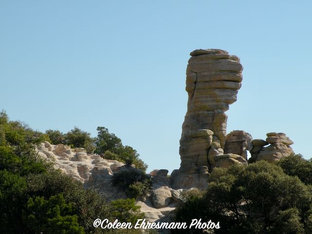
Mount Lemmon, with a summit elevation of 9,159 feet (2,792 m), is the highest point in the Santa Catalina Mountains. It is located in the Coronado National Forest north of Tucson, Arizona, United States. Mount Lemmon was named for botanist Sara Plummer Lemmon, who trekked to the top of the mountain with her husband and E. O. Stratton, a local rancher, by horse and foot in 1881. It is reported that Mount Lemmon Ski Valley, on the mountain's northeastern side, receives 200 inches (508 cm) of snow annually. ~ Wikipedia


A very nice geocaching adventure going up! Sherry
ReplyDelete