It has been a number of years since we visited the Lost Dutchman State Park. It is practically in our backyard, so it's not like it is a long drive! Hubby had collected most of the geocaches on the park trails in 2013. Some newer geocaches had been placed in the area, so we decided to go for a hike on another morning of cooler temperatures.
one of my geocache finds
do you see it?
blends in quite well with the jojoba bush
"Lost Dutchman State Park is a 320-acre state park located near the Superstition Mountains in central Arizona, USA, and named after the Lost Dutchman's Gold Mine, a famous gold mine legendary among the tales of the Old West." ~Wikipedia
do you see Hubby? orange shirt?
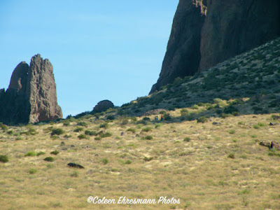
Lost Dutchman State Park is on the backside of the Superstition Mountains (north side). We live on the south side of the mountain range. Praying Hands, a rock formation is in the center of the photo.
the mounds behind the saguaro are volcanic remains
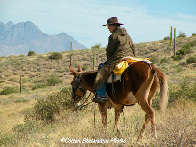
there were a number of trail riders on horses
she was leading the group of five
she's wearing chaps
saguaro remains
The park has camping sites and camping cabins for rent. The park's six hiking trails and the mountain bike trail are outside the LDSP and on Tonto National Forest Land. The trails range from easy (within the park) to moderate and challenging (Siphon Draw to Flatiron) and vary in distances. Over the years Hubby and I have been on all the trails in this part of the Tonto National Forest.
the leader of another group of four, also in chaps
I asked the gal in green if she was the pick-up person
she said she did have a bag with her
Hubby in his orange shirt visiting with a couple of women
(click to enlarge this or any blog photo)
Praying Hands on the left
the beginning of spring flowers on a bush
flower buds on a jojoba bush


No comments:
Post a Comment
Thanks for your comments!