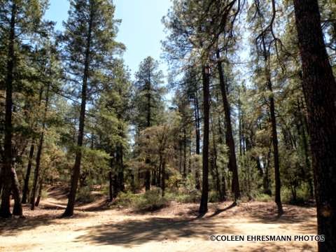
Ponderosa Pine
you can almost smell the pine trees

some deciduous trees with their fall colors in April

The elevation was over 7000' at one point on this road. We ate our lunch at this stop. Hubby found another cache.

I found a low growing, large flower daisy

The paved road ended. There was more traffic on the road which meant we were closer to a community. We followed this trailer for a number of miles. We were able to pass the outfit eventually and saw 4 angus steers in the compartment in front of the horses.

interesting bark on the tree

our first view of Pleasant Valley & our destination

interesting history

growing along the road near another geocache

a wild tiger lily

the Young Cemetery

We stopped because there was a geocache somewhere in the cemetery. We did find it and learned more about the feud between two ranchers in Pleasant Valley. This is ranch country. The town was renamed Young after the first postmistress when it was realized a Pleasant Valley AZ already existed.

More information about the feud between the cattle-herding Graham and sheep-herding Tewksbury families between 1887-1892 can be found at this site. It is an interesting story. AZ Pleasant Valley War

white iris near some headstones

OFD needed a restroom by this time. (No trees or bushes for her!) We stopped at the community gas station where I noticed these California poppies going on the hillside. The flower is a little larger than the Mexican poppy. The color is more orange and the plant has more foliage. I have a California poppy in one of my flower beds at home. It bloomed all summer long.


What is she smelling?

LILACS! a very small lilac bush at the gas station
The population of Young is between 500-600 residents. The gas station attendant told us the population swells to over 800 in the summer as Valley residents head to higher elevations and cooler temperatures. The town had a small grocery store, the one gas station, two eating establishments (not open on Monday or Tuesday) a couple of churches, a museum near the cemetery, a post office, a farm/ranch supply business, a community center and maybe a few others. We figured folks drove 50 to almost 70 miles for any other services or groceries. We had just traveled over the best road, but we did not know that at the time. We could either go back the way we came or head north and meet up with Highway 260 going to Payson. Hubby asked the gas station attendant if the road north was paved. She said yes. Well, it was for the first 4 miles and the last 4 miles. The other 15 miles was the worst wash-board road I have traveled since leaving the farm. But it was scenic!

Two forest fires burned the Tonto National Forest north of Young. The Rodeo-Chediski fire burned 144,000 acres in 2001 and the Poco Fire in 2012 burned 11,950 right outside the city limits.

a stand of birch trees along Forest Road 512

back on paved road north of Payson on the Mogollon Rim
looking at 4 or 5 mountain ranges
Hans did not lie. It was a very scenic road. OFD was not disappointed either. She took lots of photos and traveled from the desert to the mountains...in Lil' Red. Hubby was pleased because we added 8 caches to the total. (There are maybe 20 more along the road for another year.) And I was thrilled to get photos of flowers and another crested saguaro. We traveled about 250 miles on that loop. Next time we'll come back on the Desert to Tall Pines Highway. Thanks Hans for the great recommendation.
Looks like a great trip!
ReplyDelete